|
Size: 972
Comment:
|
Size: 1161
Comment:
|
| Deletions are marked like this. | Additions are marked like this. |
| Line 12: | Line 12: |
| {{attachment:AncientWorks.jpg|AncientWorks|width="400"}} | {{attachment:AncientWorks.jpg|AncientWorks|width="600"}} |
| Line 14: | Line 14: |
| {{attachment:EffigyMoundsColor.jpg|EffigyMoundsColor|width="400"}}{{attachment:EffigyMoundsLIDAR.jpg|EffigyMoundsLIDAR|width="400"}} {{attachment:EffigyMoundsLIDAR.jpg|EffigyMoundsLIDAR|width="400"}} |
{{attachment:EffigyMoundsColor.jpg|EffigyMoundsColor|width="600"}}{{attachment:EffigyMoundsLIDAR.jpg|EffigyMoundsLIDAR|width="400"}} {{attachment:EffigyMoundsLIDAR2.jpg|EffigyMoundsLIDAR2|width="400"}} |
| Line 18: | Line 19: |
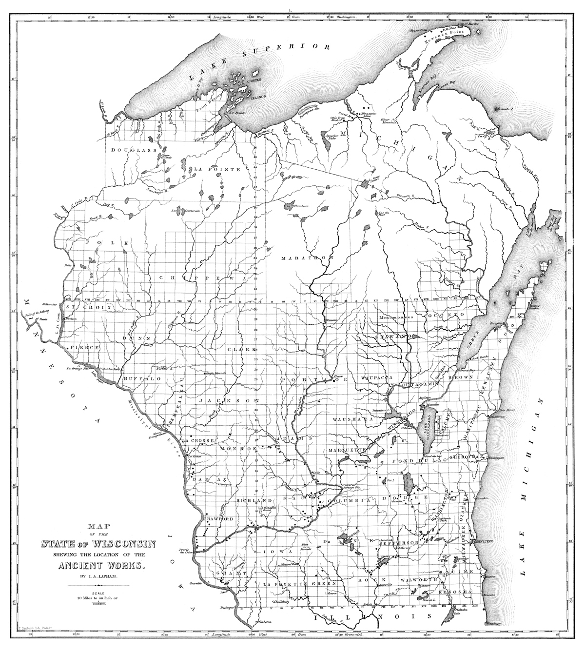
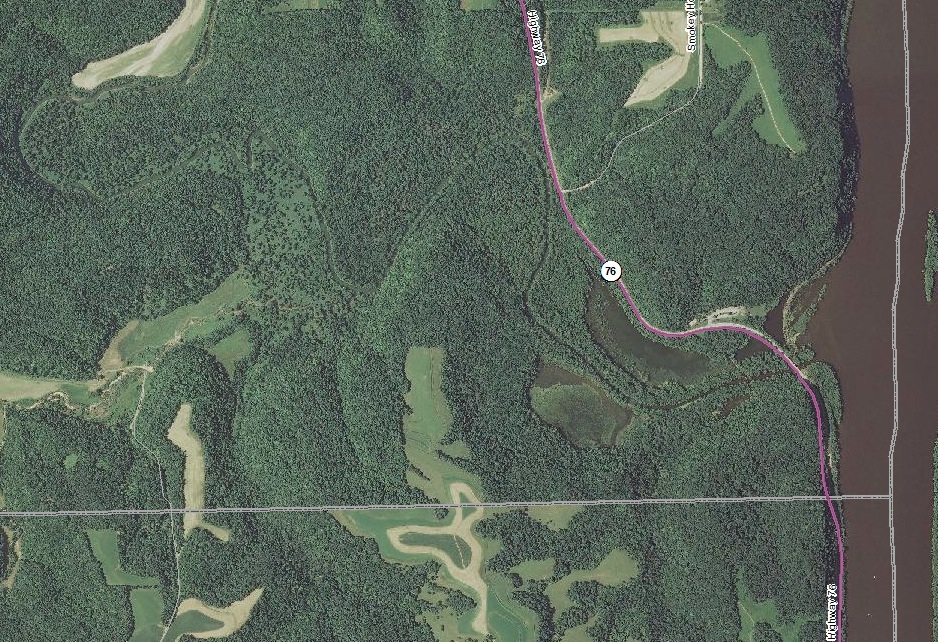
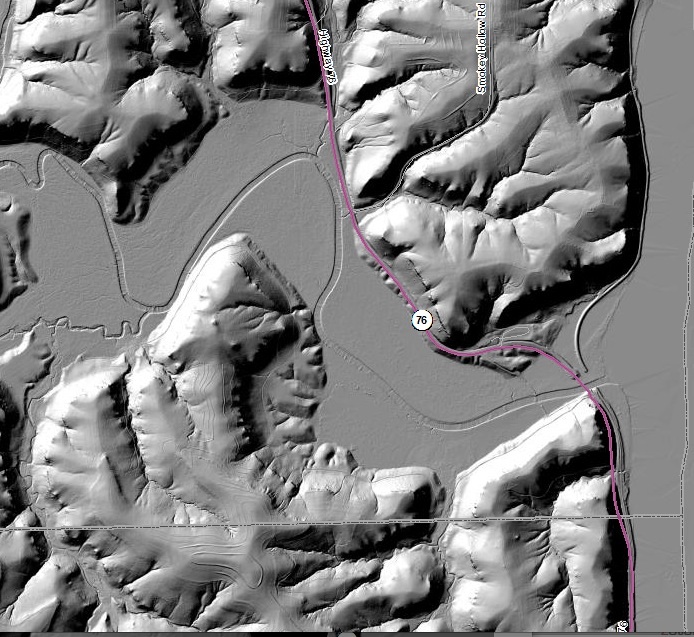
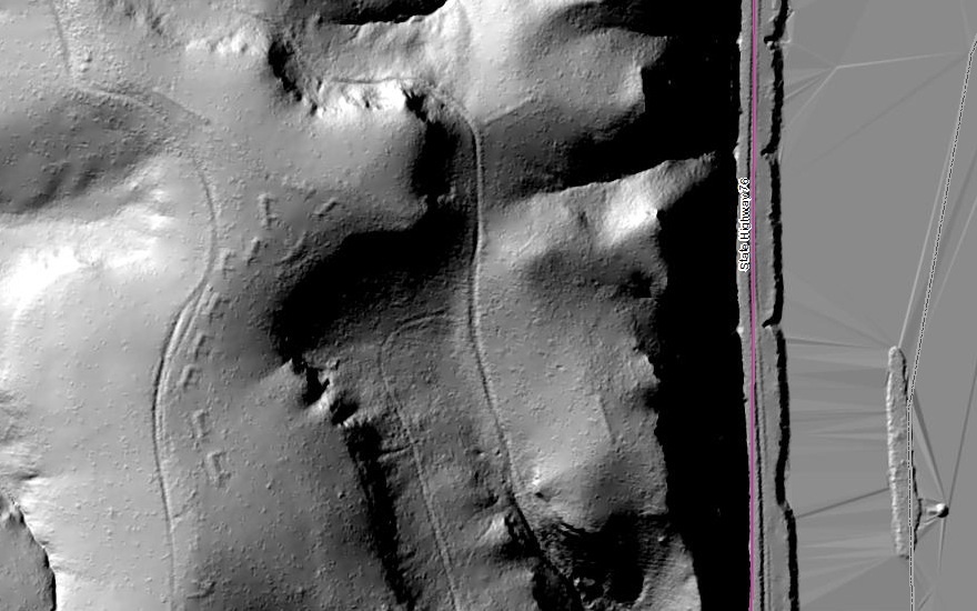
| This project uses laser Light Detection and Ranging (LIDAR) to "see through the foliage" for archaeological survey. For further information, consult Carlsmith. | This project uses laser Light Detection and Ranging (LIDAR) to "see through the foliage" for archaeological survey. The images above include a map of mound groups in Wisconsin, a satellite view of Effigy Mound National Park, a LIDAR surface digital elevation model of Effigy Mound Park, and a detail. For further information, consult Carlsmith. |
LIDAR


This project uses laser Light Detection and Ranging (LIDAR) to "see through the foliage" for archaeological survey. The images above include a map of mound groups in Wisconsin, a satellite view of Effigy Mound National Park, a LIDAR surface digital elevation model of Effigy Mound Park, and a detail. For further information, consult Carlsmith.